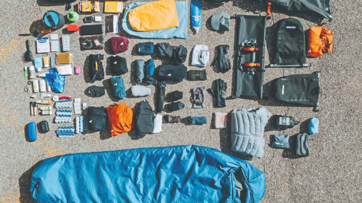
 bikepacking season is in the starting blocks.")
 bikepacking season is in the starting blocks.")


Easter, Whitsun, Ascension Day - sometimes a long weekend like this suddenly appears on the horizon and you have no idea what to do with the three or four days off at such short notice. Cycling, of course. But where to go? Especially if you don't feel like joining the traffic jam towards Lake Garda. That's why we asked experienced bikepackers and gravelers on Instagram which routes they would spontaneously recommend if you don't have the time or leisure to plan your own route. These are the recommendations that may not be right on your doorstep, but are easy to reach by train:
1st tip: The Black Forest cycle path
We thought that Germany's highest low mountain range was very popular, but the Westweg for cyclists of all things? It was probably at the end of the 1990s that the Black Forest Association signposted this alternative route for mountain bikers. It was intended to keep cyclists away from the famous and much-travelled Westweg for hikers. We tried out the route at the time and realised that the route for bikers crosses the Black Forest parallel to the hiking trail, but is the same width as the forest road and one level lower in terms of views. In other words: below the tree line. This was disappointing in direct comparison, of course, but is in line with the two-metre rule in Baden-Württemberg. Even back then, however, we found the seamless signposting and the deep relaxation in the forest pleasant. And it is possible that a few panoramic points have been added to this route in the meantime.

If you tackle the route with luggage on your bike and/or on a gravel bike, you'll definitely be happy if you don't have to rattle over rooty trails. However, you have to reckon with rough gravel and some uphill and downhill ramps. The trekking campsites (May-October), which can be booked in the middle of the forest via an app, are also interesting for bikepackers: Campsites with fire pits and toilet blocks that can be found using GPS coordinates. Tip from lauriglitter
The route: Karlsruhe (railway station) - Lörrach (railway station)
- Length: 375 kilometres
- Uphill: 7200 metres altitude
- Downhill: 7000 metres in depth
- Stages: 3 - 6 (recommended)
Info: schwarzwaldverein.de and information about the trekking camps: nationalpark-schwarzwald.de
2nd tip: Gravel Crossing Nature Parks (Ba-Wü)
The route bears the hashtag "Gravelextreme" and those who complete it will not only cross the Black Forest, but the whole of Baden-Württemberg. Four national parks lie on the route between Mannheim and Basel (Switzerland), with "magnificent landscapes, varied terrain, descents alternating with crisp mountain climbs". That sounds like you'd be a little more comfortable with wider tyres and a suspension fork. In any case, you will need a sat nav because the route is not signposted. The GPS data is available free of charge, as are all the tips for places to stop for refreshments and overnight accommodation along the stages, as well as railway stations for those taking a shortcut.
Here, too, the accommodation recommendations range from campsites in the forest to huts and wellness hotels. Tip from _inga.j and saddlestories
The route: From Mannheim to Basel (Switzerland)
- Length: 690 kilometres
- Uphill: 14000 metres altitude
- Stages: 11 (recommended)
Info: black-forest-tourism.info
3rd tip: Rennsteig in Thuringia
195 kilometres through the Thuringian Forest, the Thuringian Slate Mountains and a section of the Franconian Forest. The ridge trail along the old boundary stones is a classic (first mentioned as a border trail in 1330, a cultural monument since 1997). An alternative route for mountain bikers and cyclists was also signposted here in June 2000, which mainly bypasses the steepest and sometimes blocked sections of the original. In between, however, both routes come together again and again.
So be prepared for tarmac, gravel and forest paths if you start in Hörschel near Eisenach and follow the green "R" for three days via Oberhof to Blankenstein. There, by the way, you traditionally throw a pebble into the Saale, which you have fished out of the Werra at the start in Eisenach and carried all the way. Tip from jnk.sr
The route: From Hörschel to Blankenstein
- Length: 173 kilometres
- Uphill: 2810 metres in altitude
- Downhill: 3020 metres in depth
- Stages: 3 (recommended)
Info: rennsteig.de/radweg and komoot.de
4th tip: "Bayrisch Lettn"
Okay, that needs a bit of explanation, but it all sounds like the perfect adventure: since 2022, there has been a close-knit bikepacking community from Nuremberg that scouts a new "off-road oasis" through unknown regions every year and invites others to a self-supported bikepacking event. No timekeeping, no race stress, no entry fee. It's all about the joy of riding, nature and the shared experience - whatever the weather. That's where the name comes from, by the way, because "Letten" means something like muddy ground, quagmire, muddy broth, mud puddle...
Incidentally, the routes created in recent years are also available for free download:
- From Nuremberg through the Fichtelgebirge: 443 km / 5760 m elevation gain
- From Cham to the Bavarian Forest and Sumava National Park: 389 km / 6850 altitude metres
- From Nuremberg through Middle Franconia and Altmühltal: 432 km / 3900 m altitude difference
- From Nuremberg through Middle and Upper Franconia: 425 km / 5020 m altitude difference
Info: bayrischlettn.de
5th tip: Hanse-Gravel
Hamburg-Lübeck-Wismar-Rostock-Stralsund-Greifswald-Wolgast-Anklam-Stettin (Poland) and from there back to Hamburg by train. The route follows the "Hanseatenweg" along the German-Polish Baltic coast and is based on old trade routes from the Middle Ages. Today, the tour from Hanseatic city to Hanseatic city is intended to contribute to European international understanding.
You can download the route free of charge for retracing. The route is marked with the symbol of a black cog, but a GPX track makes perfect sense to be on the safe side. Tip from fraeuleinwalter
The route: from Hamburg to Szczecin
- Length: 607 kilometres
- Uphill: 2190 metres in altitude
- Stages: 7 (recommended)
Info: hansegravel.com

Gitta Beimfohr
Editor
