


The ability to read and interpret topographical maps is still the foundation of any professional tour planning. Contour lines not only reveal the steepness of the terrain, but also characteristic terrain forms such as ridges, valleys or saddle positions. A contour line spacing of 20 metres at a scale of 1:25,000 makes it possible to identify critical passages at the map table and think through alternative routes. Experienced tour planners will immediately recognise where steep sections are to be expected from the density of the contour lines, while wide intervals indicate gentle slopes.
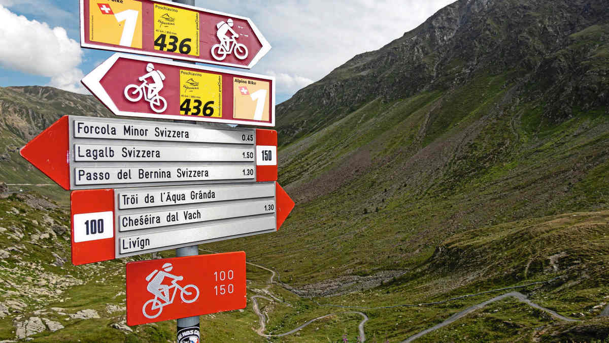
You have to get to grips with the symbolic language of topographical maps to recognise the categories of paths at a glance, from asphalted alpine roads to forest tracks to impassable hiking trails. Vegetation boundaries, bodies of water and settlement structures are also clearly defined. Information on surface conditions and vegetation is particularly valuable. A path through dense forest marked on the map will look completely different from a high-altitude trail over open terrain. But you should also be able to quickly recognise safe shelter options and the next possible descent - in case a thunderstorm suddenly appears. Then you should be able to intuitively assess whether the remaining 50 metres up to the hut or the next descent into the valley is the quickest way to safety.

"Overview knowledge" can be vital for survival
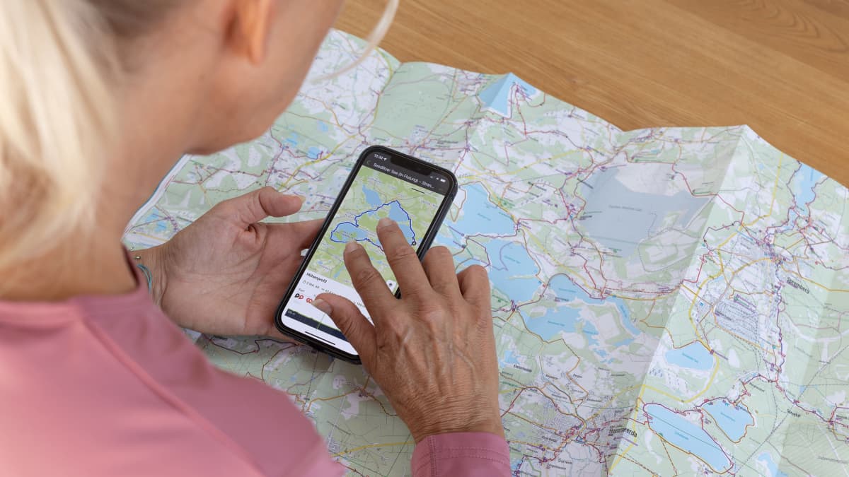
Know in advance exactly what terrain the tour leads through, where there are water sources, how far away the nearest mountain huts are and where the quickest descent to a safe valley is in an emergency - experienced alpine guides call this "overview knowledge". Good digital maps, such as those from the Alpine Club or Outdooractive, naturally also contain all this information. But the topo map, which you can spread out on the table, still provides the best overview of the terrain. It is easier to memorise.
Of course, things are different during the tour: Stop at every crossroads, fumble the paper map in tablecloth format out of your rucksack to see where you're going. At a sufficient but not particularly detailed 1:50,000 scale. And possibly in the rain! And then simply not being able to fold the damn thing up properly in the rush - hallelujah, those days are over!
The touring revolution thanks to GPS
Satellite navigation, i.e. GPS, has truly revolutionised the world of mountain biking. With an accuracy of typically 3-5 metres, the turn-offs in the terrain are just a breeze. If you want, you can even use voice guidance.
The digital map formats, from raster maps to vector data, also offer different advantages: While raster maps provide the familiar map image, vector maps enable dynamic representations with routable route networks. In contrast to paper maps, which may no longer be up to date, the maps of tour portals even contain short-term and temporary route closures (e.g. due to hunting or falling rocks).
However, the biggest problem with electronic helpers is their battery life. Good navigation devices achieve 15-20 hours of operating time (solar cell devices 120 hours and longer), while smartphones run out of light after just 6-8 hours of intensive GPS use.
Exploiting synergies from the analogue and digital world
Optimal tour planning strategically utilises the strengths of both worlds. Digital planning tools make it possible to develop detailed routes, analyse altitude profiles and mark critical points on a large screen at home. The resulting tracks can be transferred to various end devices and offer precise navigation on the move. At the same time, the printed map serves as an indispensable overview tool and backup system that works independently of battery life and reception quality. This can be a lifesaver, especially in remote areas.
While GPS devices can reach their limits in deep gorges or dense forests, the map is always available. Experienced touring bikers develop a sense of when they can trust digital navigation and when it is appropriate to check the map. The emergency strategy in the event of a complete technical breakdown should already be thought through when planning the tour.
Systematic preparation for maximum safety
A methodical approach to tour planning begins with a realistic assessment of fitness and time planning. The pure riding time according to standard formulas such as the rule "500 metres of altitude per hour" is merely the starting point. Factors such as the nature of the route, weather conditions and individual daily form can significantly influence the actual tour time. Safety buffers of 25-30 per cent have proven their worth in practice.
Continuous monitoring of the weather forecast (at least one week before the start) is also part of tour planning. Is a bad weather front on the horizon that could bring thick fog or even snow at higher altitudes? Here, too, there are now apps with detailed forecasts for individual mountain groups.
Emergency contacts and a structured route cancellation system create additional safety nets. Specific times should be agreed at which rescue measures can be initiated if no response is received.
Conclusion
While GPS navigation and smartphone apps have revolutionised the possibilities of route planning, expertise in dealing with topographical maps remains the indispensable foundation for safety-conscious off-road tourers. The most successful tours are the result of an intelligent combination of both worlds - digital precision paired with analogue reliability. Ultimately, however, no technology can replace careful preparation, realistic self-assessment and the willingness to make responsible decisions while travelling.


Gitta Beimfohr
Editor
